WM-Subsurface Software

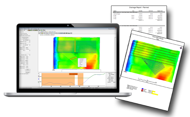
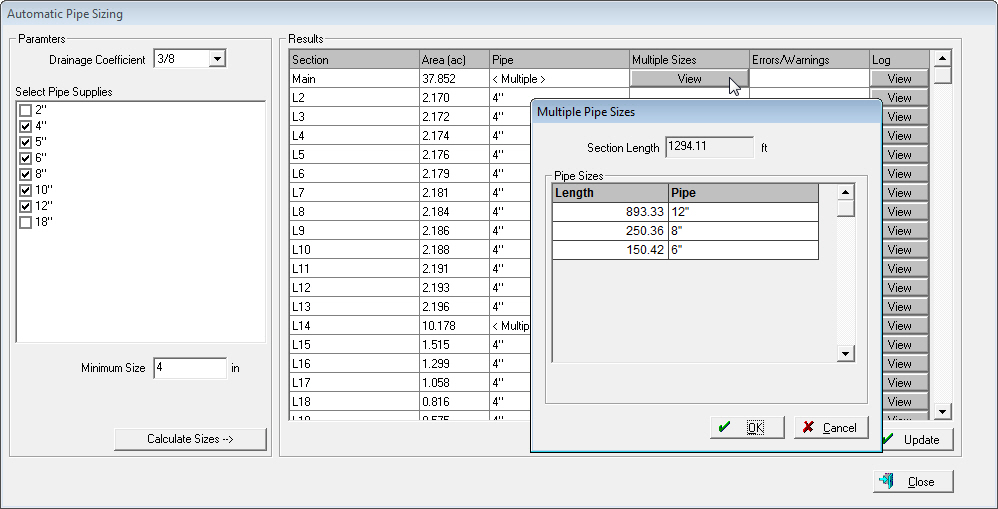
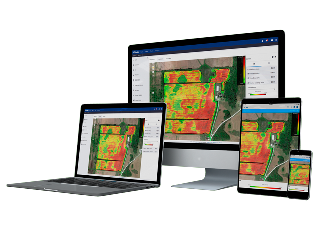
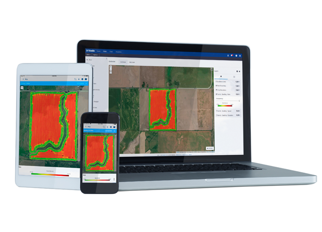
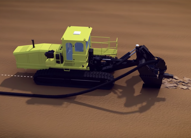
WM-Subsurface (formerly known as Farm Works Surface) is farm drainage software that works with the Trimble® WM-Drain™ farm drainage solution. WM-Subsurface ensures the optimal placement of tile and surface drains in both surface and sub-surface drainage water management projects, helping to drain fields adequately and increase crop yields. Easily overlay other layers such as yield or soil types to help visualize the field from different perspectives.

The farm drainage software installs on desktop computers utilizing Microsoft® Windows® 7 or higher.

Ready to Buy?
Trimble WM-Subsurface Software
Trimble WM-Subsurface Pipe Sizing

Automatic Pipe Sizing

Calculate the recommended pipe size for all pipes within a given design, as well as generate an estimate on total cost and material required for the drainage project.  Automatic pipe sizing helps you quickly and efficiently produce optimal drainage designs while reducing your overall costs.

Tributary Lines

  • Allow your farm drainage software to determine the various watershed zones of the field to assist with main, submain, and lateral pipe placement.
  • Enable flow arrows and tributary lines to assist with tracing the natural surface water flows.

Drainage Lines

  • Utilize the drawing tools to tie laterals to mains, create parallel lateral spacings, and clip drainage lines.
  • Layout and design drainage tile by size, pipe type, phase, then enter the minimum depth, maximum depth, and optimum grade for each.
  • Utilize the design check feature to confirm that all drainage lines flow correctly.
  • Easily make design adjustments based on vertical profile and set or change direction of water outlet.

Levee Creation

  • Create levee paths from topography data based on contour interval and implement turn radius for proper placement of irrigation levees.

What are our customers saying?

We highly recommend WM-Subsurface for the layout of field tile. Designs that used to take us days using a laser are now completed within minutes or hours.”

– Andrew Zimmerman, Hicksville, OH

“The software is able to track exactly how much slope is on the pipe, and how many acres are coming in each line, so I am able to do a very accurate job of sizing the system and do it very quickly.”

Joey Schlatter, Francesville, IN

Product Comparison

Farmer Fit or Farmer ProWM-Software
Read/write precision farming data, guidance lines, soil test results and other maps.
Record field records and view reports for seeding, application, harvest and other activities.
Enter accounting transactions and view cash general ledger reports such as the Income Statement and Balance Sheet.
Create simple and formula-based variable rate application maps.
Eliminate guesswork by calculating pipe sizes automatically based on terrain, depth, drainage coefficient, and more.
Create invoice statements for landlords and others.
Utilize 3D modeling for each field, detailing the high and low spots.
Determine the various watershed zones of the field to assist with main, submain, and lateral pipe placement.
Utilize drawing tools to tie laterals to mains, create parallel lateral spacings, and clip drainage lines.
Print out maps that include useful information such as drain lengths and the total amount of each material required.

Related Products and Solutions

Let’s Get Started

Embrace the power of proven precision agriculture technologies from Trimble to enhance your planting and seeding operations, while increasing your productivity and profitability by saving on wasted inputs.

Where to Buy