View map layers on the mobile app
Switch map layers to get more insight into your field boundaries on Trimble Ag Mobile, including alternate boundary views, paths for crops or obstructions, coverage maps and Crop Health Imagery. Use these map features on any field on the mobile app, starting from the home screen’s Field tile or Farm tile.
- Log in to the mobile app with the same Trimble ID used to access your online account (learn more)
- From the mobile app’s home screen, select the preferred crop year (top left)
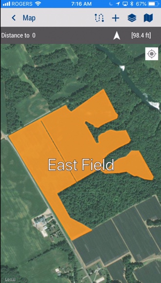
- Tap the Fields tile
- Tap the full-screen
 icon to expand the map view
 - Tap the compass
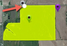
 icon to show your current location (only use if you’re close to the field boundary)
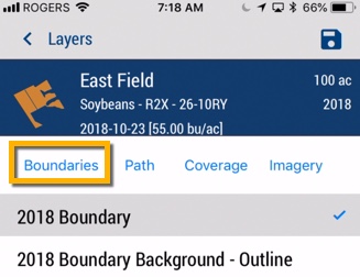
- Tap the layers
 icon to choose from the following options:
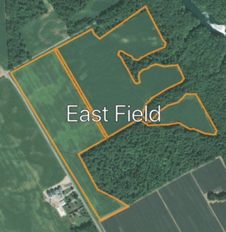
- Boundaries – tap to switch between the standard (solid) or Background – Outline view
- Tap the disc
 icon to save selection and view changes
- Tap the disc
- Path – tap the checkboxes to select one or more paths saved on this field
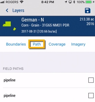
- Tap the disc icon to save selection and view changes
- Tap the disc
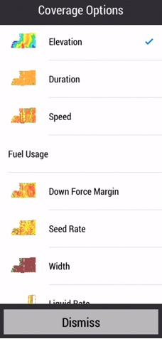
- Coverage – tap to select a coverage map from data imported from vehicle displays
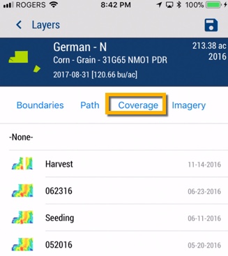
- Tap the disc icon to save selection and view changes
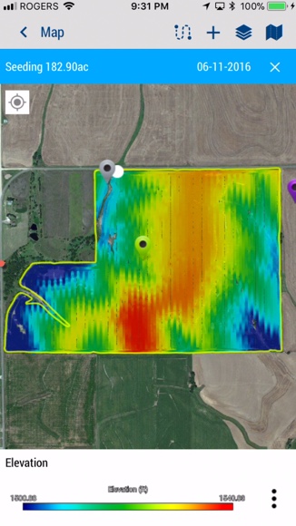
- Tap the map legend
 icon to tap and view other Coverage Options (or tap Dismiss)
- Tap the disc
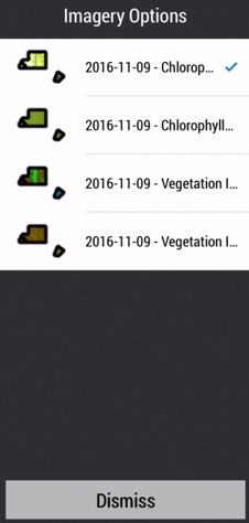
- Imagery – tap to select Crop Health Imagery layers by date
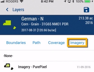
- Tap the disc icon to save selection and view changes
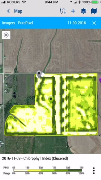
- Tap the map legend icon to tap and view other Imagery Options (or tap Dismiss)
- Tap the disc
- Boundaries – tap to switch between the standard (solid) or Background – Outline view