PTx Trimble
  • Solutions
    • Solutions
    • Workflows
      • Workflows
      • Land Preparation
      • Planting & Seeding
      • Crop Protection
    • Additional Solutions
      • Additional Solutions
      • Correction Services
      • ISOBUS
      • Enterprise
  • Products
    • Products
    • All Products
    • Hardware
      • Hardware
      • All Hardware
      • Displays
PTx Trimble
  • Solutions
    • WORKFLOWS

    • ADDITIONAL SOLUTIONS

    • Overview
    • Correction Services
    • Land Preparation
    • ISOBUS
    • Planting & Seeding
    • Enterprise
    • Crop Protection
    • Sustainability
    • Nutrient Management
    • Water Management
    • Harvest
  • Products
    • HARDWARE

    • SOFTWARE & APPS

    • CORRECTION SERVICES

    • All Hardware
    • All Software & Apps
    • Correction Services
    • Displays
    • Trimble Ag Software
    • Guidance Control
    • Advisor Prime
    • Steering Systems
    • Data Warehouse
    • Flow & Application Control
    • Land Forming
    • Land Forming
    • Subsurface Drainage
    • Subsurface Drainage
  • Support
  1. How-to Central
  2. Search Results
  3. View and use vehicle data online

View and use vehicle data online

Once your vehicle displays are connected to Trimble Ag Software by serial number or through an API that shares data with your third-party account, your information is automatically pulled into the online account from your fleet activities. Our software uses spatial selection to look for matches between your data and our software, starting with the field name. If field names are different, Trimble Ag Software looks for a similar field boundary to assign jobs to the matching field.
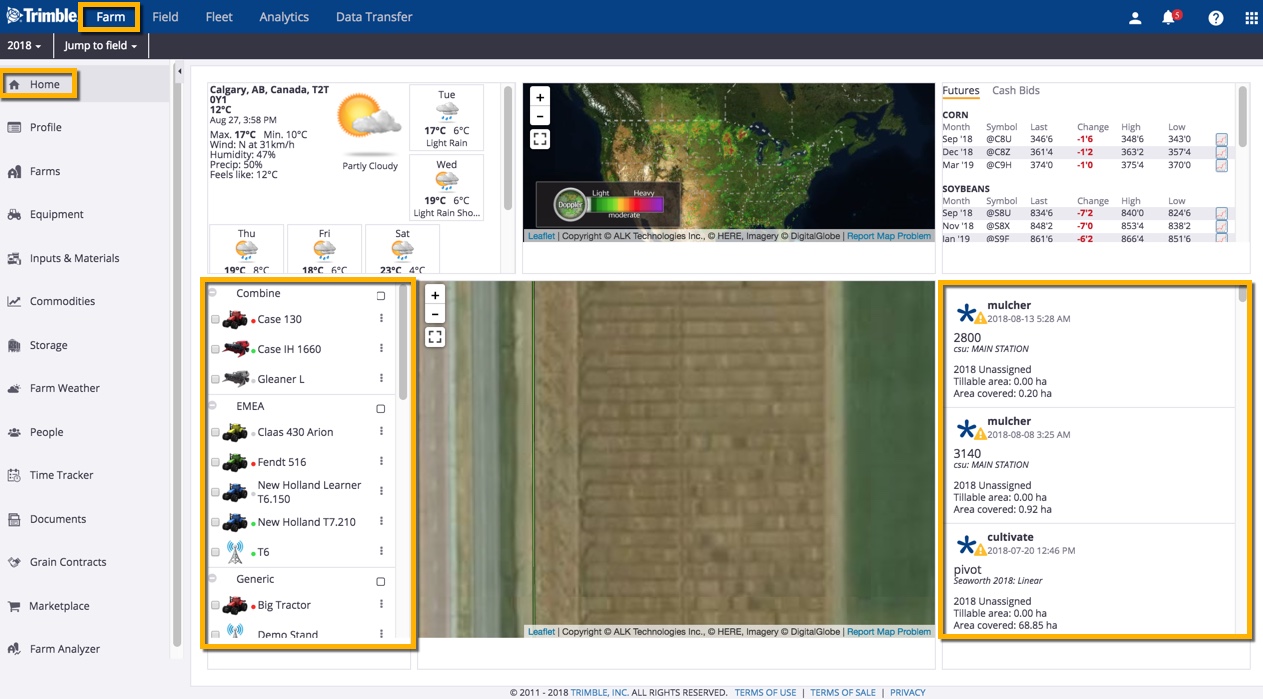
 

At the farm level:

  1. View vehicle profiles on the online dashboard
  2. View vehicle location and working status on the online dashboard
  3. View vehicle tasks on the online dashboard
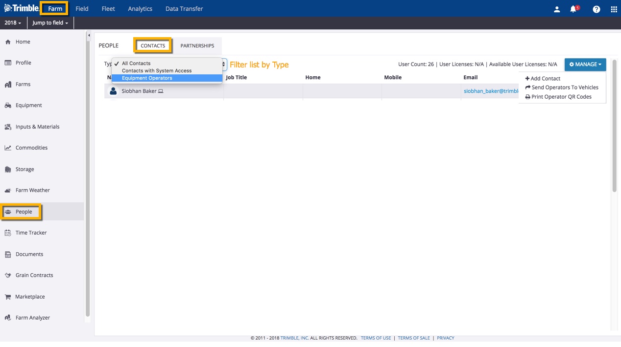
  4. Assign operator access and send operators to vehicles on the farm
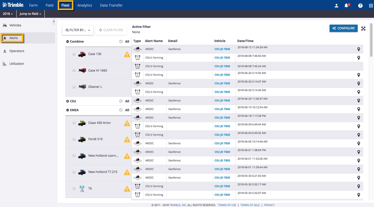
  5. Manage alerts for curfew, geofence, machine alert, ignition and rushing
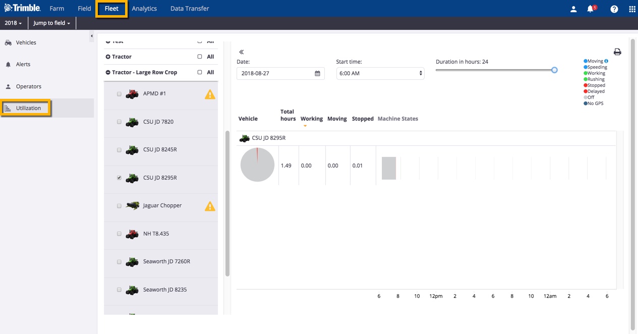
  6. View fleet utilization levels by time period, status, and alerts
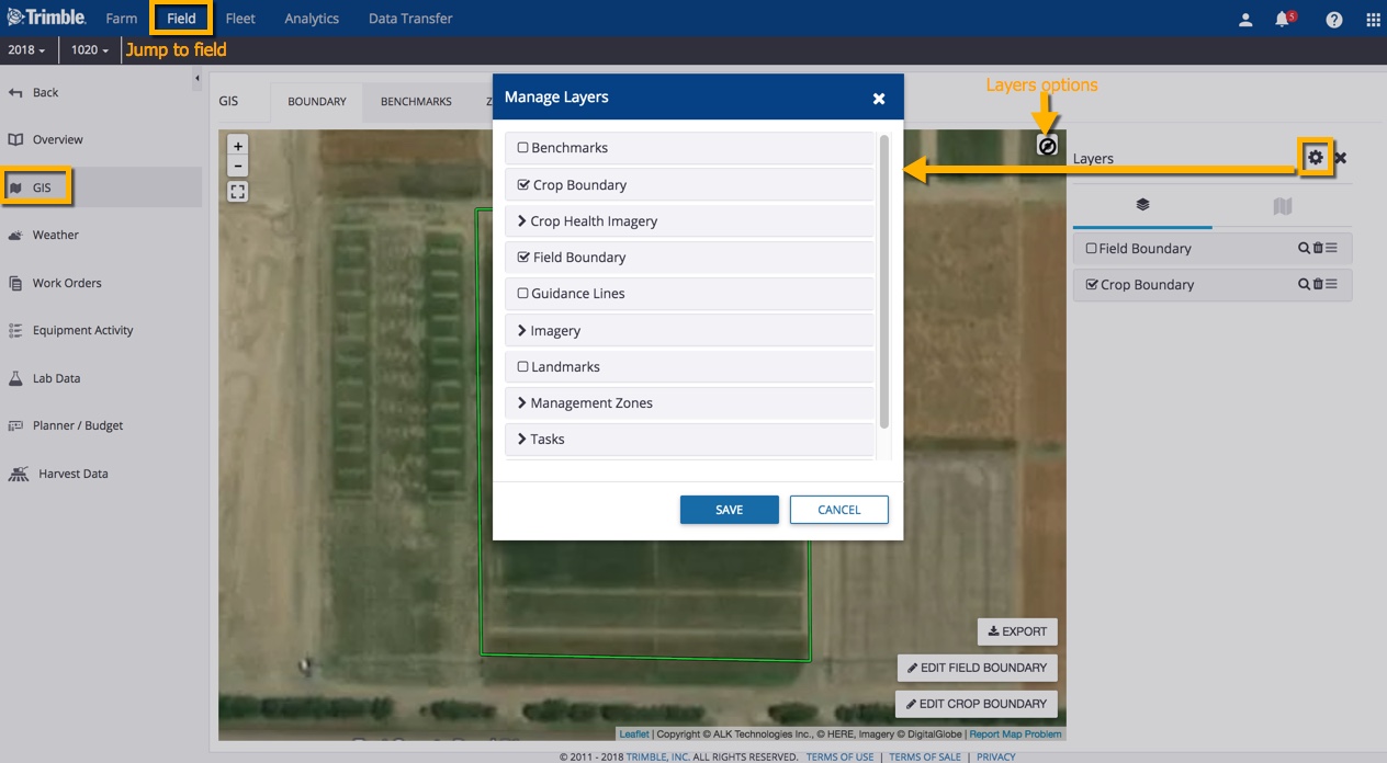
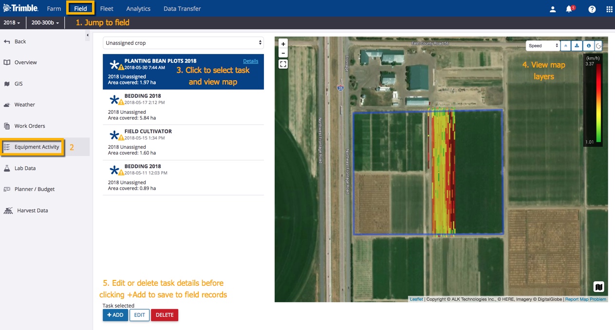
At the field level:

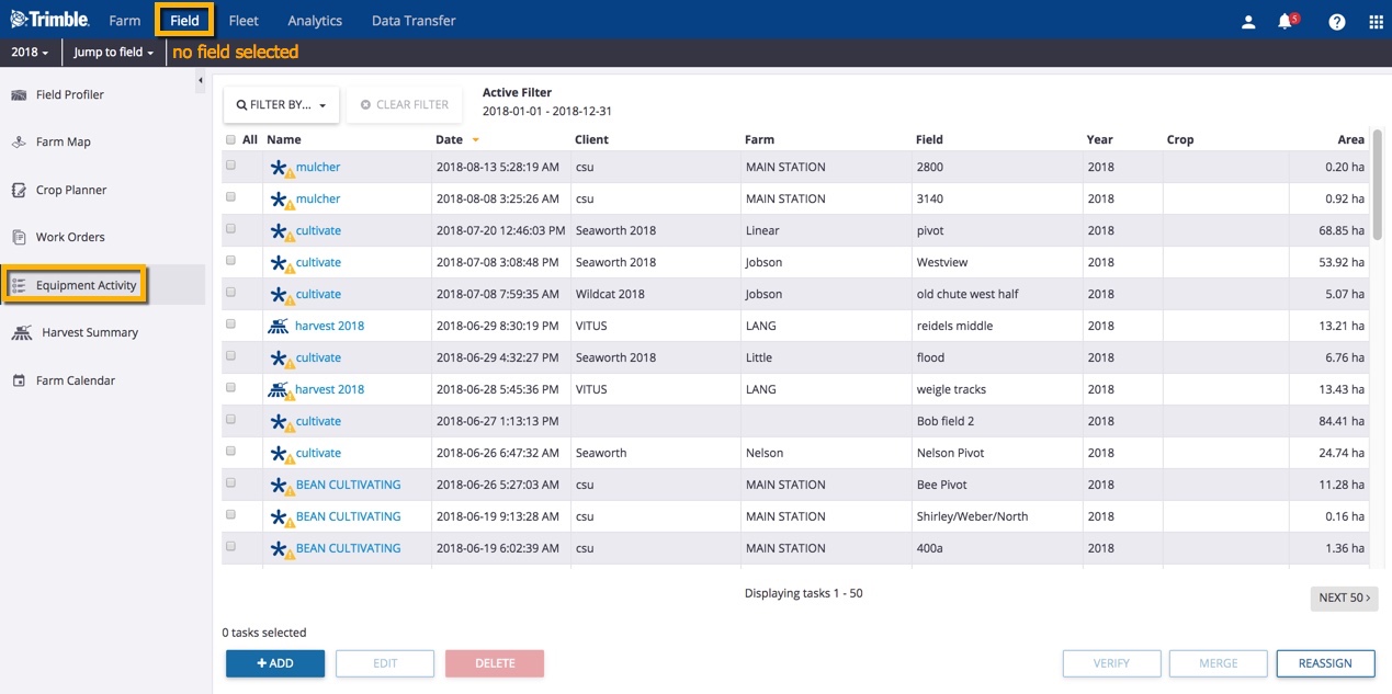
  1. View task coverage maps
  2. Verify equipment task data
  3. View locations for any vehicles at the field location
  4. View and manage AgGPS or AgData.zip (resource) files
  5. Export resource files from the online account to connected vehicle displays

Learn more about data compatibility with Trimble Ag Software, and check out the full Fleet Management User Guide for more vehicle options.


Search How-To Central:

How-To Central Categories

Support
Get your questions answered
Authorized dealers
Locate or contact Trimble resellers
Careers
Work at Trimble
SOLUTIONS
  • Land Preparation
  • Planting & Seeding
  • Crop Protection
  • Nutrient Management
  • Water Management
  • Harvest
PRODUCTS
  • Displays
  • ISOBUS Compatible Input Control
  • Record-Keeping
  • Crop Planning
  • Yield Monitoring
  • Farm Finance Management
  • Advanced Positioning
  • Land Forming
PARTNERS
  • Support
  • How to Buy
  • Privacy Policy
  • Do Not Sell My Personal Information
SUPPORT
  • Contact Trimble
  • Resources
  • Release Notes
  • Facebook – Trimble Agriculture logo
  • Instagram – @trimble_ag logo
  • Twitter – @trimble_ag logo
  • LinkedIn – Trimble Agriculture logo
  • YouTube – Trimble Agriculture logo
Trimble Logo
© 2023, Trimble Inc.

Trimble is an industrial technology company transforming the way the world works by delivering solutions that enable our customers to thrive. Core technologies in positioning, modeling, connectivity and data analytics connect the digital and physical worlds to improve productivity, quality, safety, transparency and sustainability. From purpose built products to enterprise lifecycle solutions, Trimble is transforming industries such as agriculture, construction, geospatial and transportation.

  • Legal
  • Terms of Use
  • Terms of Sale
  • Privacy Center
  • Do Not Sell My Information
  • English